Loading...

Photogrammetry Service

We provide different knid of services in Photogrammetry Service:

  • Aerial triangulation      Planimetric mapping
  • 2D/3D Digitizing     Dtm/Dem editing
  • 3D modeling        Manual contour

View Page...

Ortho Photo Service

A digital elevation model (DEM) is required to create an accurate orthophoto as distortions in the image due to the varying distance between the camera/sensor and different points on the ground need to be corrected.

  • OrthoPhoto,Mosaicing and Cleanup
  • Ortho Photo Generation

View Page...

GIS Data Analysis & Mapping

We provide different knid of services in GIS Data Analysis Mapping Service:

  • Vector Mapping     Parcel mapping
  • Topographic Creation   Utility Mapping
  • Cartography       all types production etc.

View Page...

Lidar Service.

We provide different knid of services in Lidar Service:

  • Terra match(Aerial match /Mobile match)
  • Mobile mapping
  • 3D City modeling     Classification(All types)
  • DTM/DSM        Contour processing

View Page...

Why Us?

WONDER GEO MAPPING CONSULTANCY AND SERVICES

Wonder Geo Mapping (WGM) has immense expertise in different verticals including GIS data & digital mapping, LiDAR, photogrammetry, OrthoPhoto; just to name a few. With the advent of state-of-the-art space and geospatial technologies, we endeavor to leverage advanced applications and solutions for the proper implementation of geospatial applications across different industries.

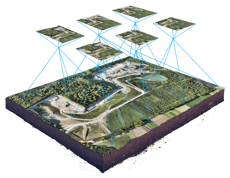
Photogrammetry Service

  • Aerial triangulation
  • Planimetric mapping
  • 2D/3D Digitizing
  • Dtm/Dem editing
  • 3D modeling
  • Manual contour
Ortho Photo Service

A digital elevation model (DEM) is required to create an accurate orthophoto as distortions in the image due to the varying distance between the camera/sensor and different points on the ground need to be corrected.

  • OrthoPhoto,Mosaicing and Cleanup
  • Ortho Photo Generation

GIS Data Analysis & Mapping

  • Vector Mapping
  • Parcel mapping
  • Topographic Creation
  • Utility Mapping
  • Cartography
  • All types production etc.
Lidar Service

  • Terra match(Aerial match /Mobile match)
  • Mobile mapping
  • 3D City modeling
  • Classification(All types)
  • DTM/DSM
  • Contour processing
BIM Service

  • BIM Architecture
  • BIM Structure
  • MEPF – LOD 100 to 500
  • 2D and 3D CAD

Ready to get started?

Take Your Business to the Next Level

Work with us
Illustration
Image

Wonder geo mapping consultancy and servicess

We are specialized in photogrammetry as well as Lidar & Gis. Professionals at Wonder geo mapping are highly experienced and understand the need of providing exceptional client services which results in significant growth of our company.

Wonder geo mapping consultancy and services is a leading Photogrammetry service provider to worldwide. Photogrammetry Services provide high resolution data deliverables at cost effective prices to its clients across the world. we are experts in highly effective customized process for Photogrammetry data processing and mapping which enables us to deliver accurate, detailed and reliable information faster. For more information on our Photogrammetry services kindly contact our Head Office, Wonder geo mapping consultancy and services.

  • Photogrammetry
  • mobile mapping
  • Ortho Photo
  • 2D/3D Digitizing
  • DTM/Dem Editing
  • Gis
  • Lidar
  • 3D Modelling
Top